Log in
All resources
Create a design
11,660 Free Images of Old Map
maps made in the 17th century
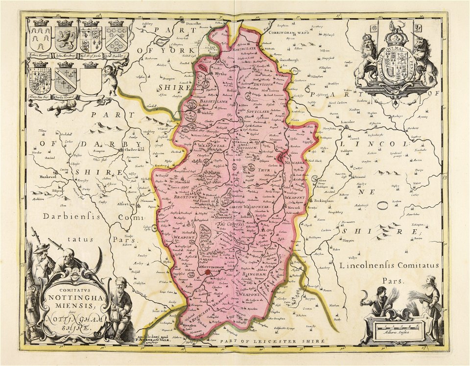
gerard valck
maps by pieter schenk (i)
atlantis magni tomus secundus (biblioteca comunale di trento)
atlantis magni tomus tertius (biblioteca comunale di trento)
maps in the library of congress
braun & hogenberg
fonds ancely - bibliothèque municipale de toulouse - maps
maps with cartouches
atlas van der hagen
description de l'universe
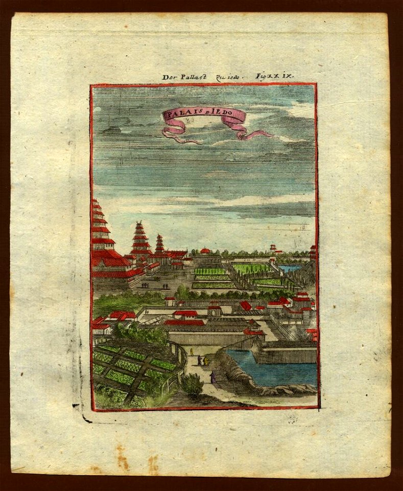
old maps of japan
description de l'universe
old maps of japan
theatrum urbium (1610)
old maps of cagliari
atlas of the russian empire (1792)
old maps of saratov governorate
braun & hogenberg
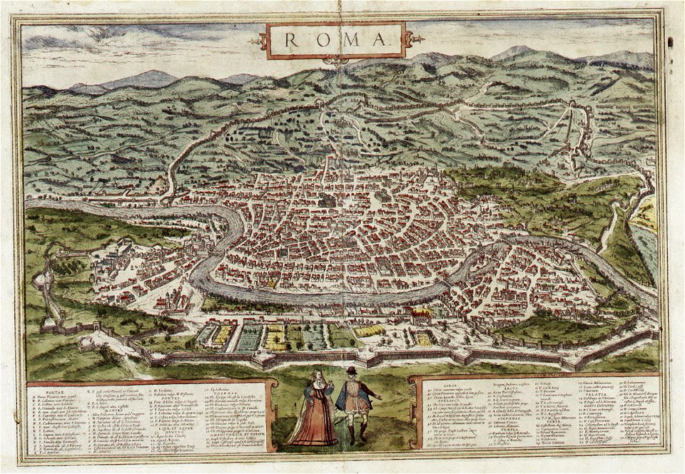
old maps of rome
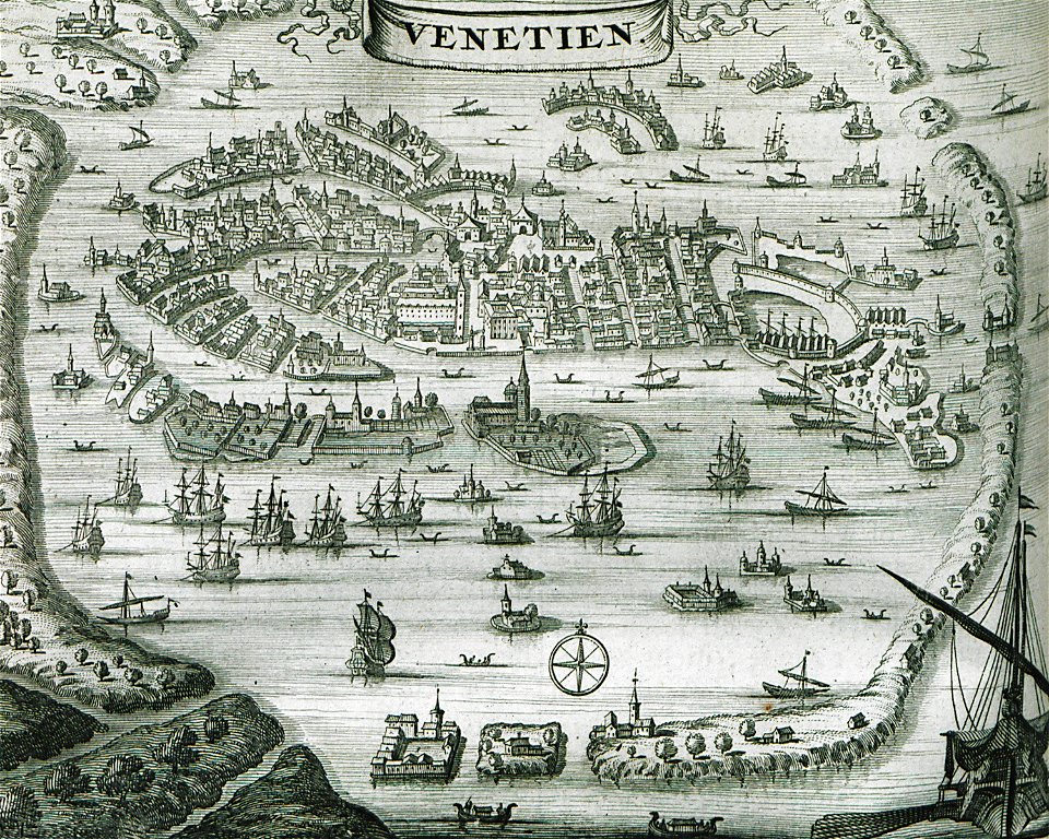
old maps of venice
braun & hogenberg
braun & hogenberg
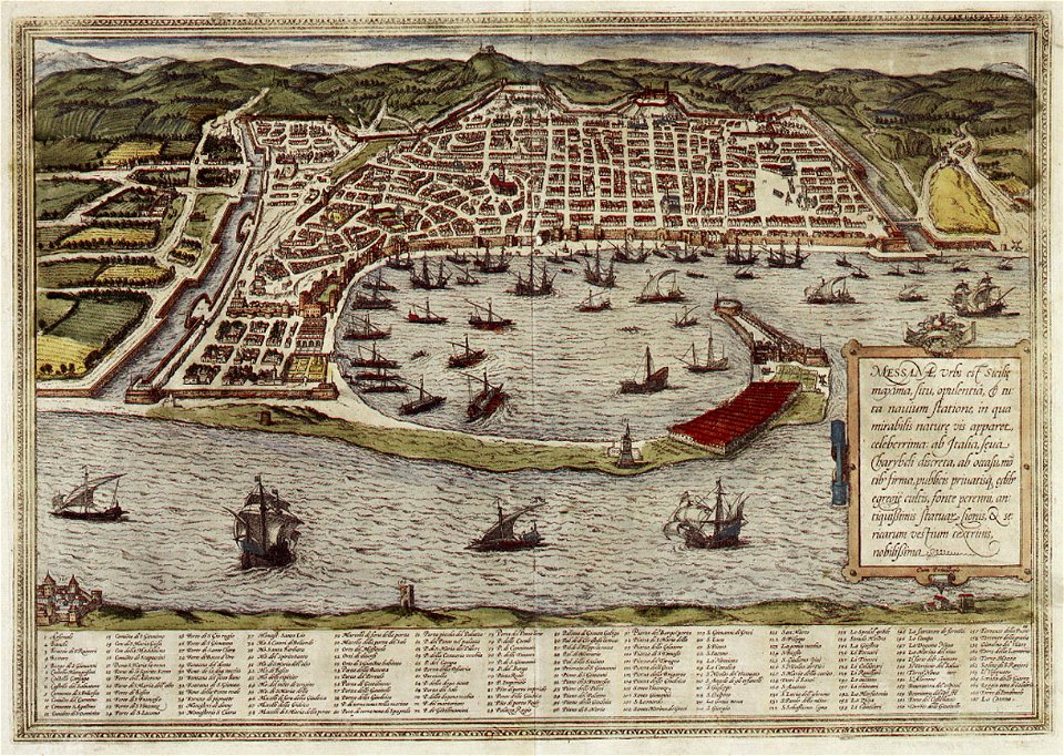
messina in art
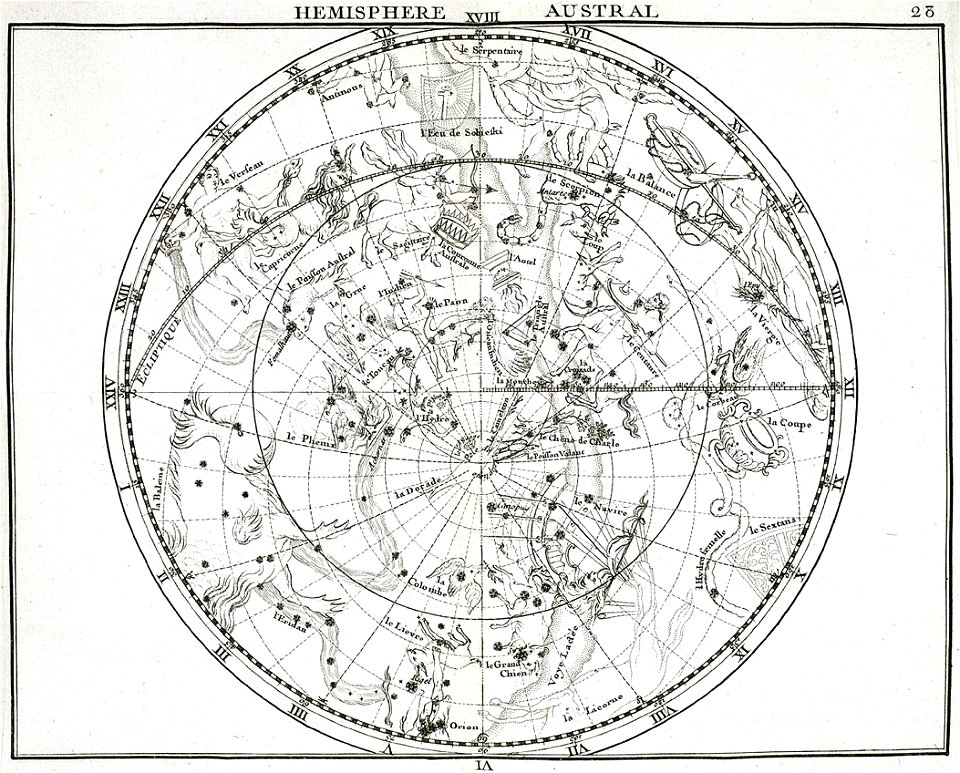
atlas coelestis by john flamsteed
old celestial maps
old maps of viceroyalty of the caucasus
atlas of the russian empire (1792)
edi expedition
aceh war
johann christoph brotze
old maps of riga
geographical illustrations by coronelli
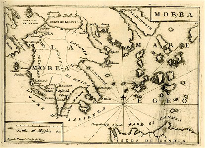
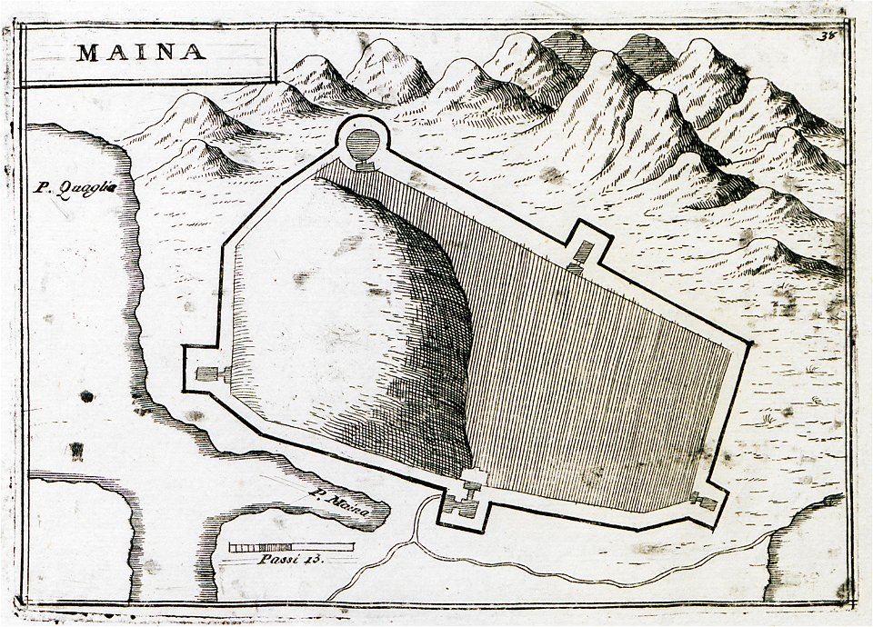
old maps of the peloponnese
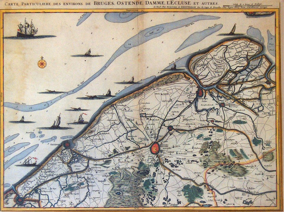
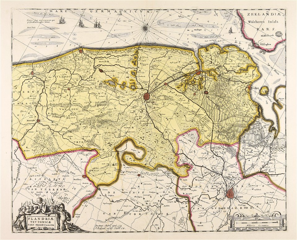
old maps of bruges
covens en mortier
geographical illustrations by coronelli
old maps of the peloponnese
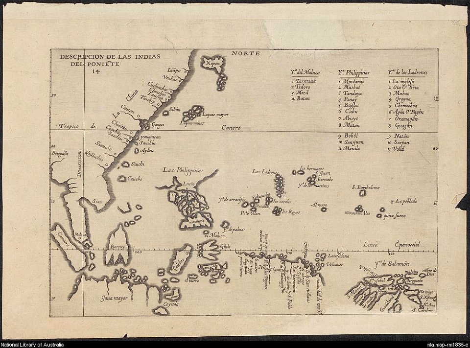
old maps of southeast asia
old maps of belarus
daugava
old maps of belarus
daugava
constellations in art
old celestial maps
historical images of chur
old maps of switzerland
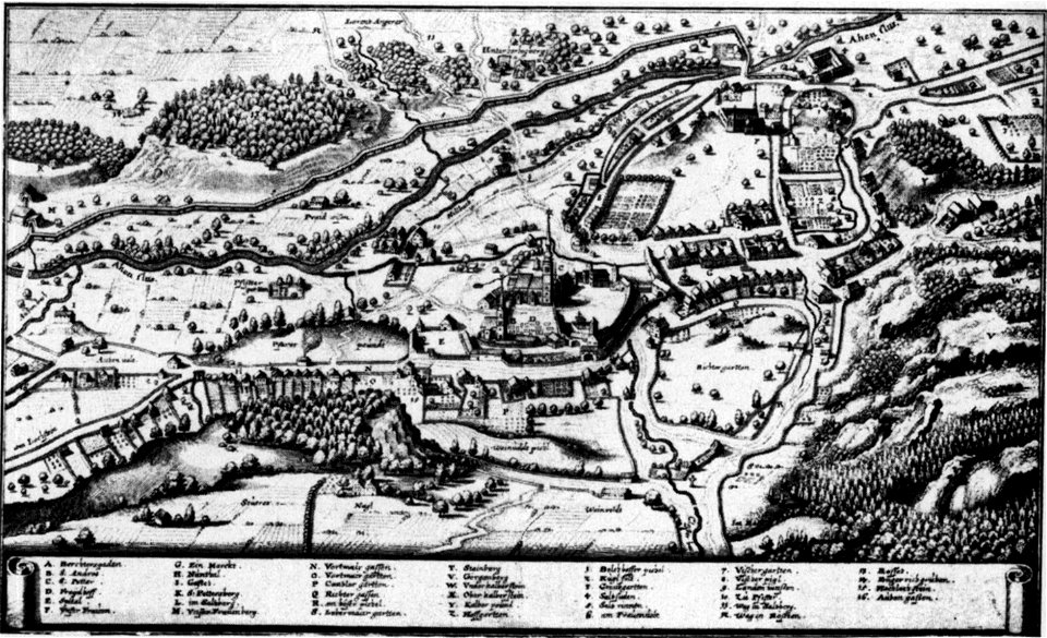
augustinerchorherrenstift berchtesgaden
old maps of berchtesgaden
world
maps
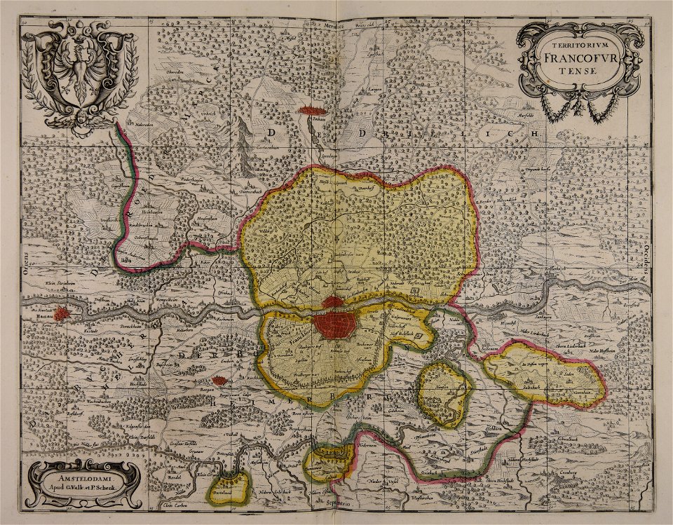
old maps of frankfurt am main
gerard valck
maps with cartouches
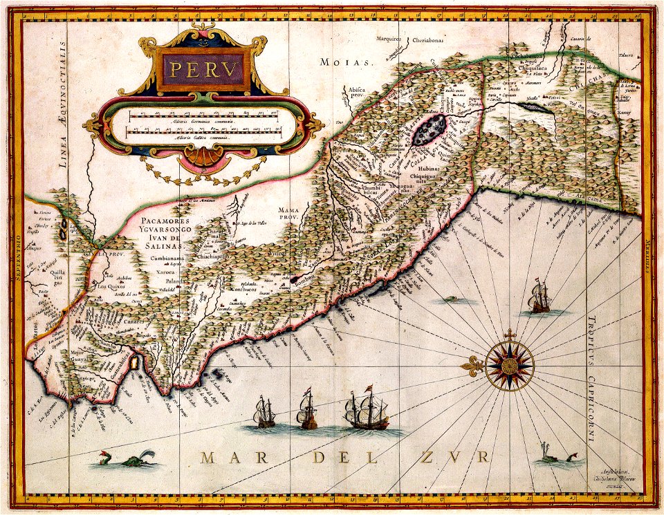
old maps of peru
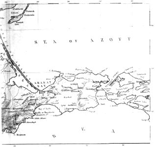
old maps of the sea of azov
1856 maps
old maps of the arctic
1747 maps
maps in the library of congress
1862 maps
maps in the library of congress
1862 maps
maps made in the 17th century
old maps of the world
history of perugia
old maps of umbria
maps made in the 17th century
gerard valck
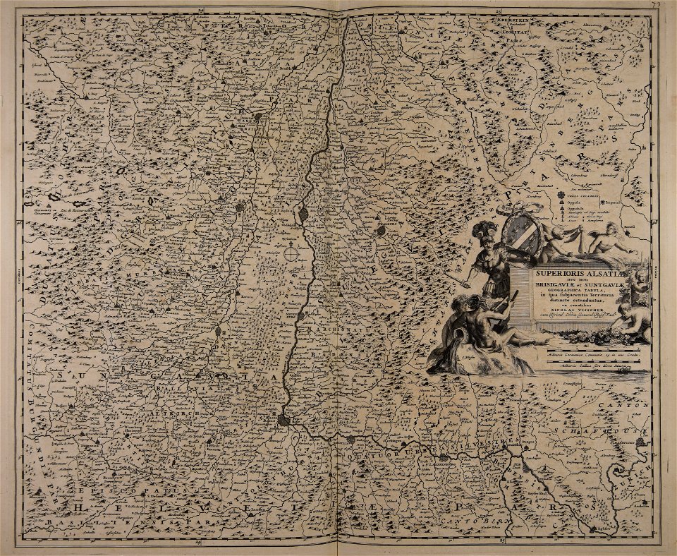
maps made in the 17th century
gerard valck
morro castle (havana)
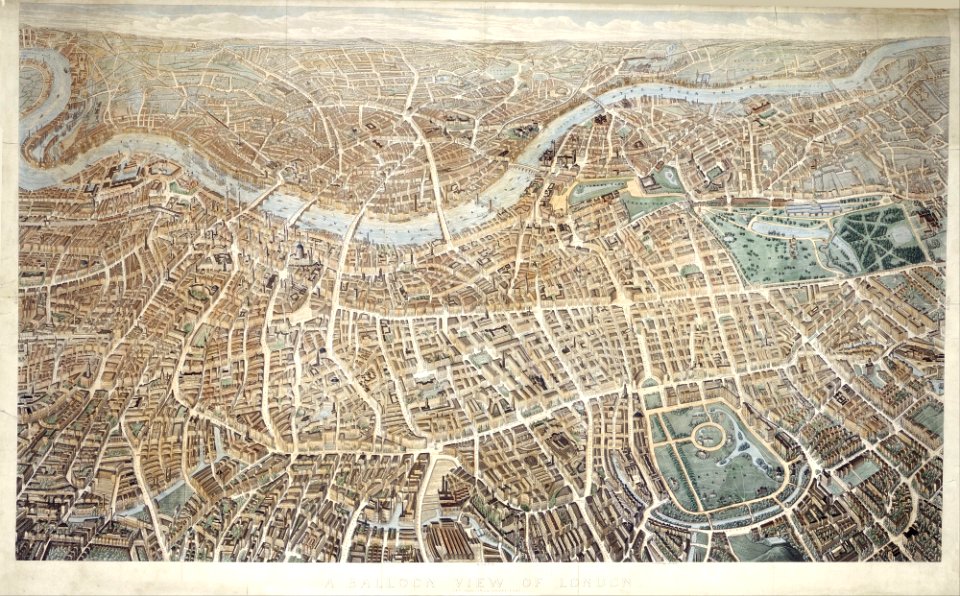
london
maps from the mechanical curator collection
william peel (royal navy officer)
maps made in the 18th century
gerard valck
maps by jacques-nicolas bellin
19th-century maps of africa
maps in the library of congress
old maps of louisiana
maps with cartouches
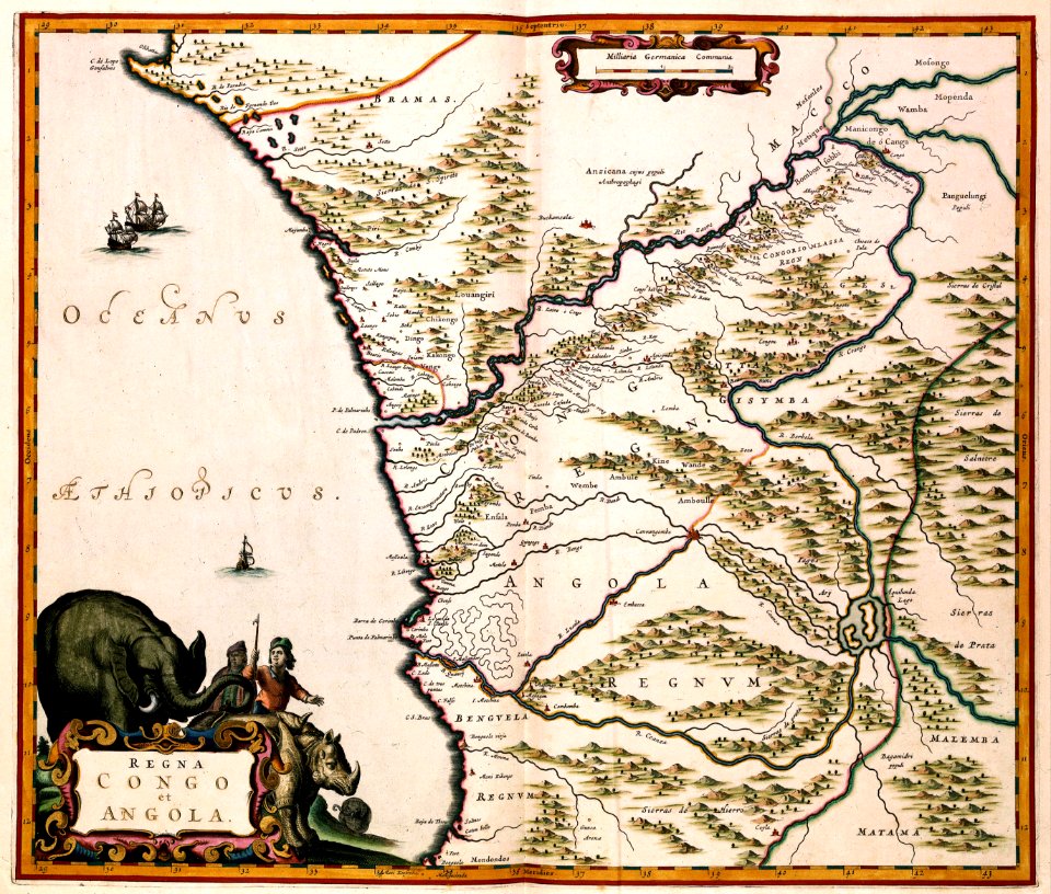
old maps of angola
maps made in the 17th century
gerard valck
gerard valck
england
église sainte-aurélie
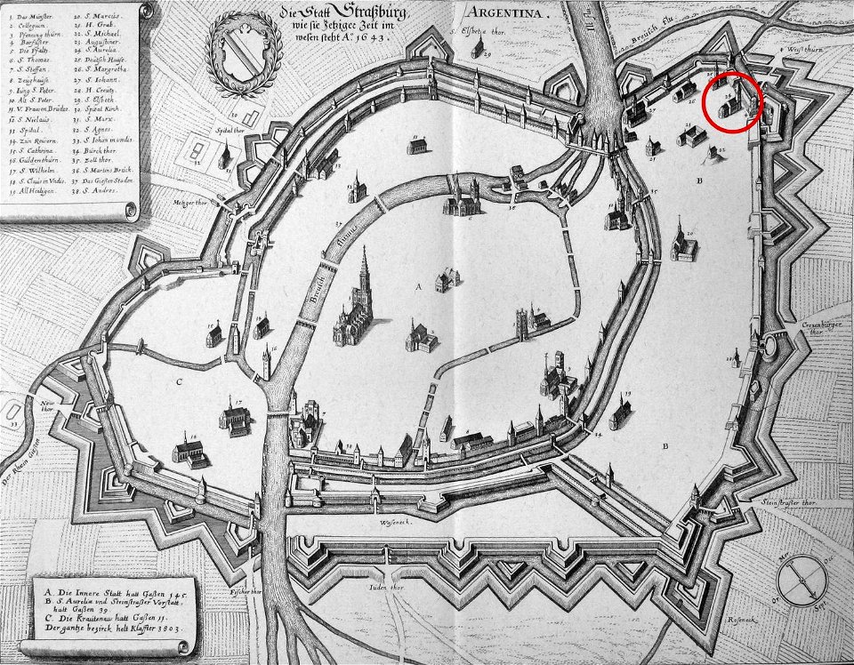
strasbourg
maps made in the 17th century
gerard valck
maps made in the 17th century
nicolaes visscher ii
university of toronto wenceslas hollar digital collection
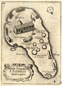
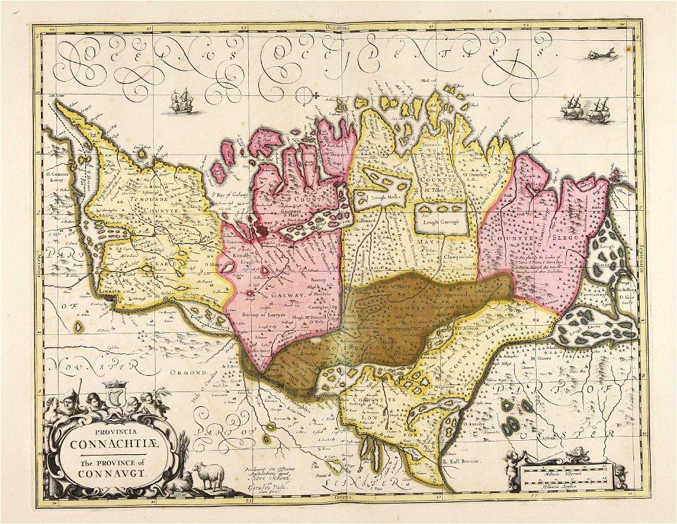
old maps of ireland
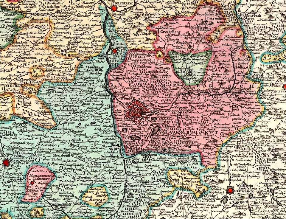
old maps of nuremberg
covens en mortier
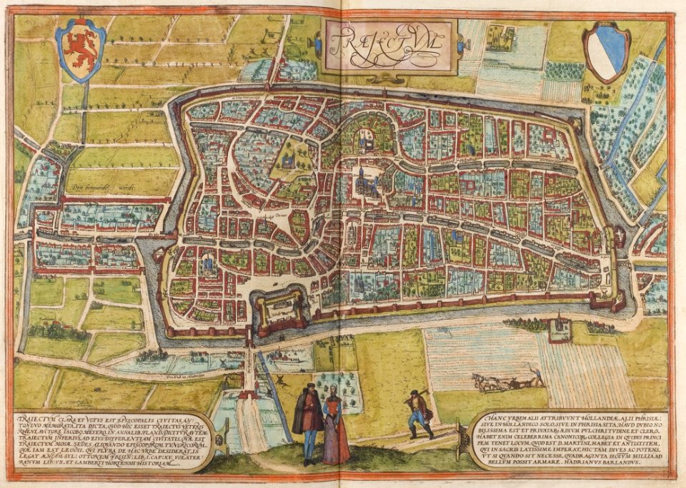
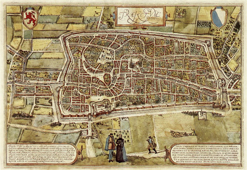
old maps of utrecht (city)
braun & hogenberg
atlantis magni tomus tertius (biblioteca comunale di trento)
maps made in the 17th century
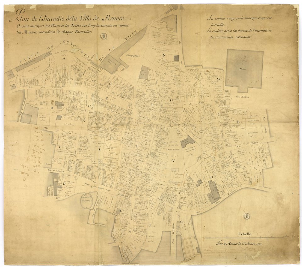
old maps of rennes
1780 maps
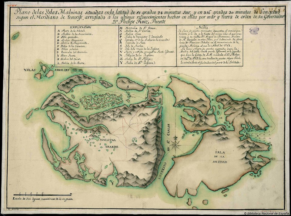
old maps of the falkland islands
history of the falkland islands
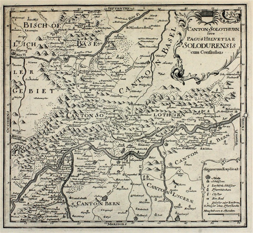
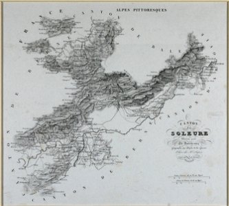
historical images of solothurn
old maps of switzerland
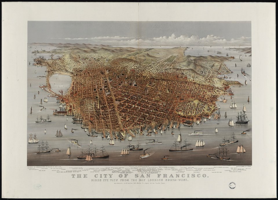
bird's eye view maps of california
san francisco in art
historical images of arecaceae
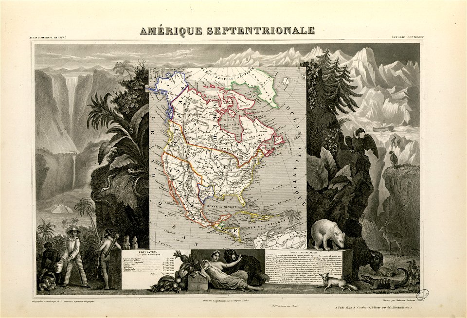
old maps of north america
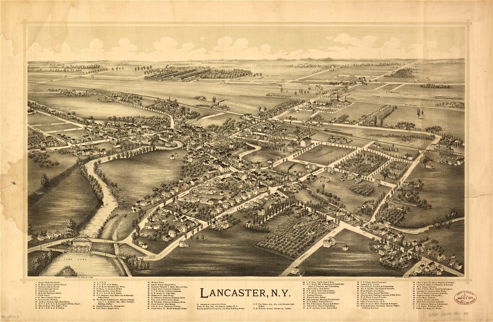
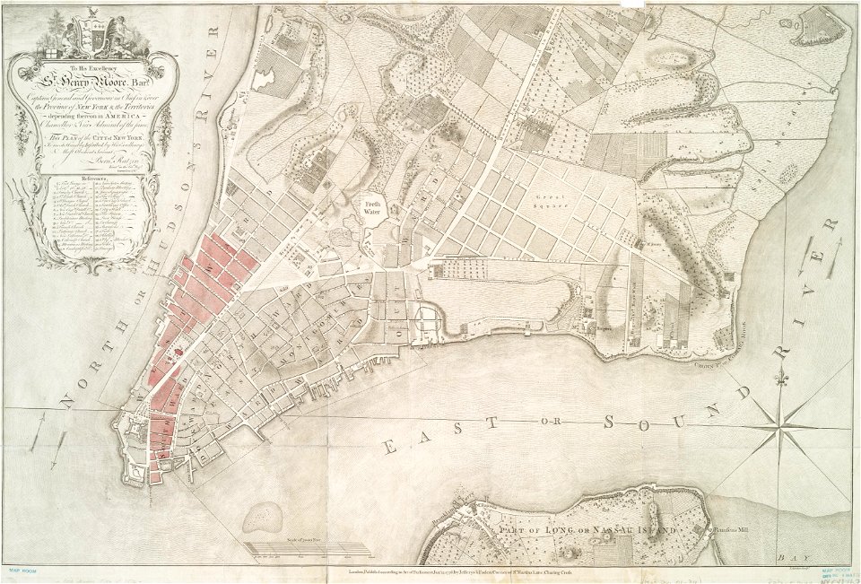
erie county
new york
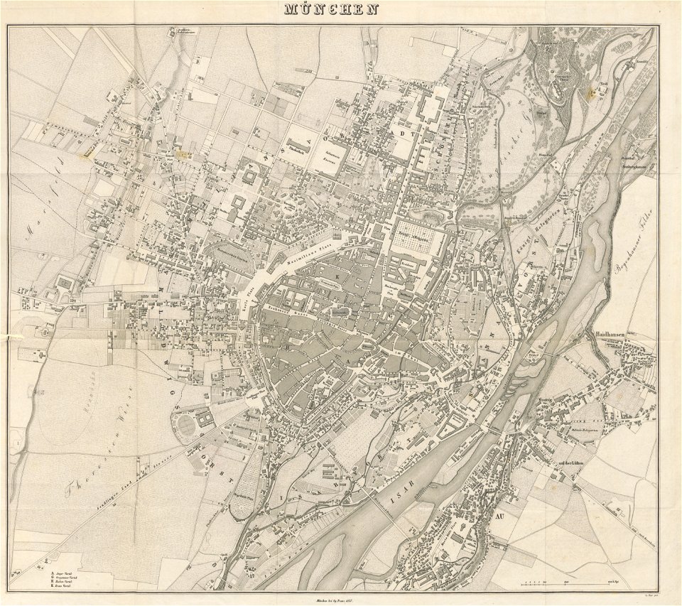
munich in the 19th century
old city maps of munich
maps made in the 17th century
gerard valck
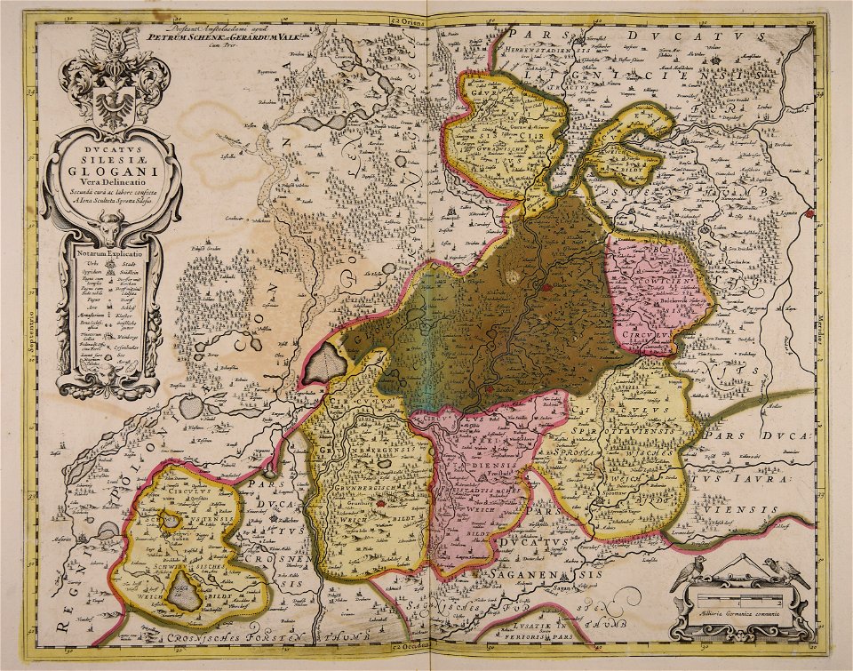
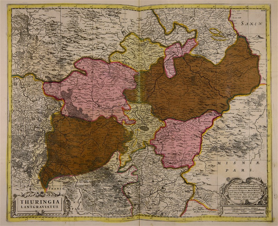
old maps of silesia
gerard valck
fonds ancely - bibliothèque municipale de toulouse - maps
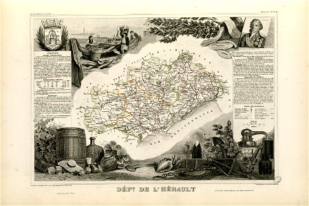
victor levasseur - maps of france
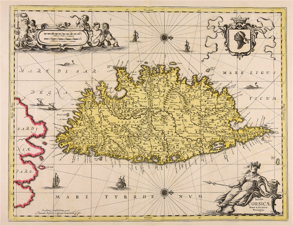
old maps of corsica
pasquale paoli
old maps of switzerland
1837 maps
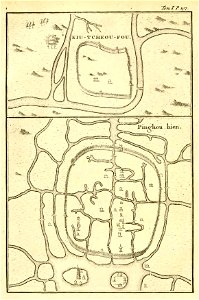
french-language maps of china
old maps of zhejiang
great rennes fire of 1720
old maps of rennes
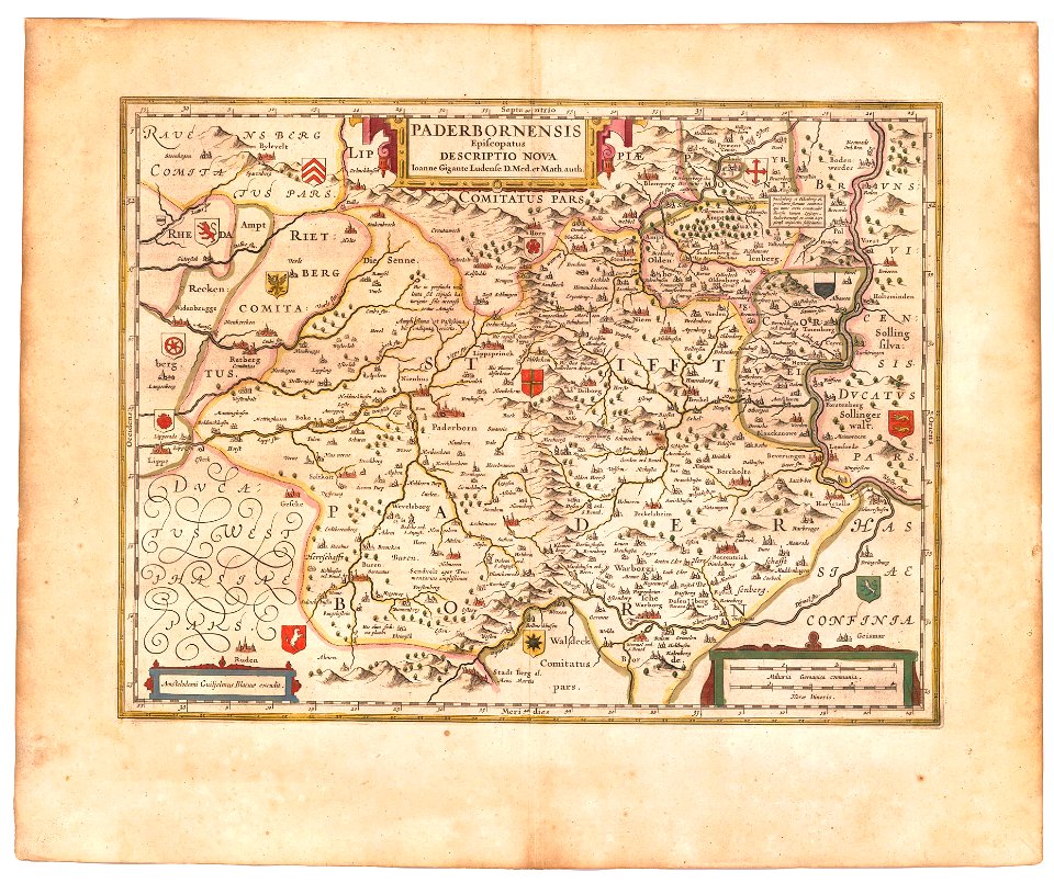
old maps of prince-bishopric of paderborn
atlas novus (blaeu)
joseph pitton de tournefort
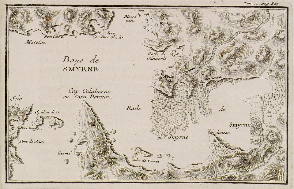
i̇zmir in the 18th century
charts and maps of the royal museums greenwich
edward gennys fanshawe
fonds ancely - bibliothèque municipale de toulouse - maps
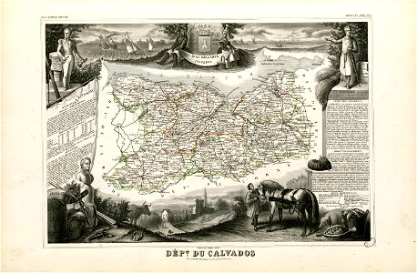
old maps of calvados
prints from manesson travaux de mars at the peace palace library
old maps of béthune
old maps of utrecht (city)
braun & hogenberg
maps with cartouches
mount wutai
historical images of the gravensteen (ghent)
atlas van loon
maps made in the 17th century
jan janssonius
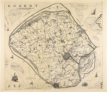
old maps of north holland
old maps of utrecht
erie county
new york
old maps of london
pictorial maps
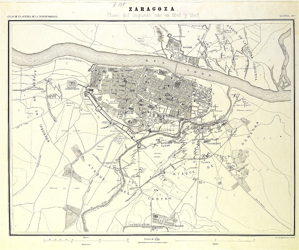
second siege of zaragoza
1868
maps made in the 17th century
maps by nicolaes visscher i
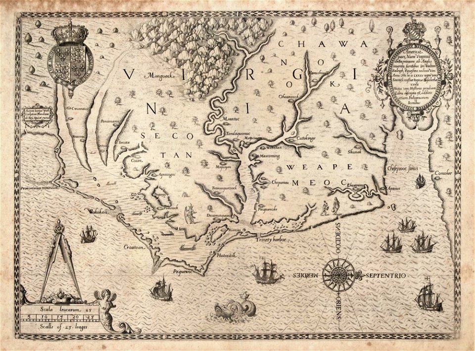
north carolina
core
maps with cartouches
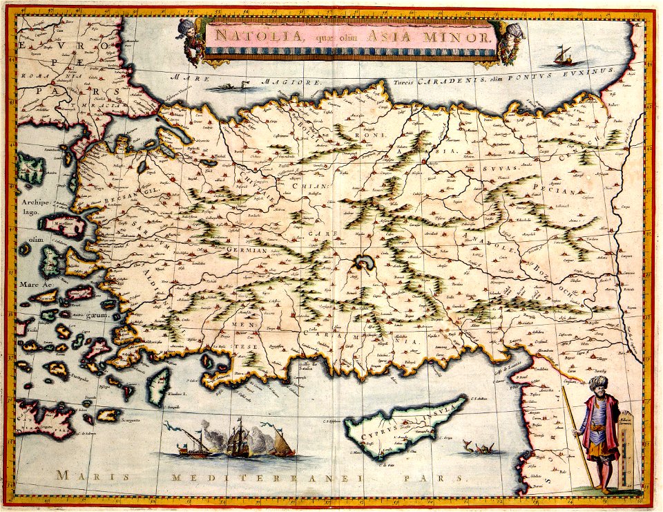
old maps of turkey
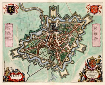
coats of arms of breda
netherlands
hand-drawn maps and views of world war i battlefields by h.m.
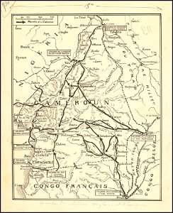
old maps of cameroon
dutch 17th-century prints in the rijksmuseum amsterdam
netherlands
maps made in the 17th century
gulf of trieste
maps made in the 17th century
gerard valck
fires in new york (state)
new york city
maps made in the 17th century
gerard valck
gerard valck
campania
fonds ancely - bibliothèque municipale de toulouse - maps
coats of arms of cities in orne
old maps of ireland
gerard valck
atlantis magni tomus tertius (biblioteca comunale di trento)
maps made in the 17th century
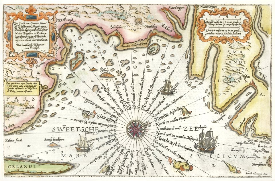
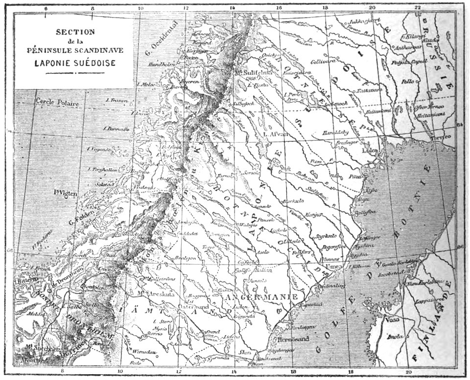
19th-century maps of sweden
sweden in the 1850s
university of toronto wenceslas hollar digital collection
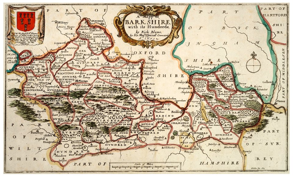
old county maps of berkshire
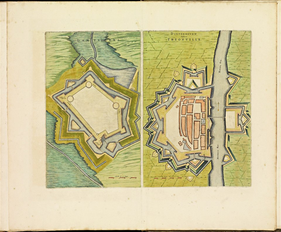
maps of thionville city walls
atlas de wit 1698
maps of arras city walls
old maps of arras
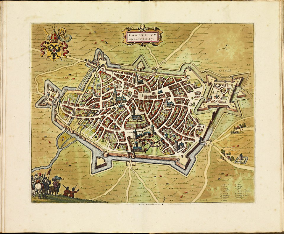
old maps of cambrai
atlas de wit 1698
maps made in the 17th century
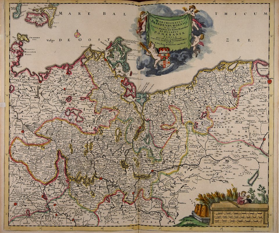
old maps of brandenburg
atlantis magni tomus tertius (biblioteca comunale di trento)
maps made in the 17th century
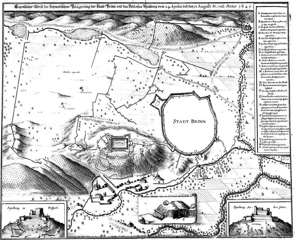
engravings of theatrum europaeum
1645 maps
1747 persia map by emanuel bowen
maps in the library of congress
old maps of venice
venice in art
old maps of yekaterinoslav governorate
atlas of the russian empire (1792)
atlas of the russian empire (1800)
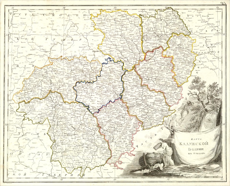
old maps of kaluga governorate
atlas of the russian empire (1800)
old maps of vyatka governorate
2901 - 3000 of 11,660
Next page
/ 117